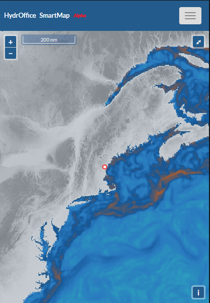
Although existing oceanographic atlases and models provide an enormous amount of four-dimensional information for hydrographic surveys, such information is delivered in a way that is not easy to translate to the expected survey data quality. The Sea Mapper's Acoustic Ray Tracing Monitor and Planning (SmartMap) project aims to provide tools to evaluate the impact of oceanographic temporal and spatial variability on hydrographic surveys. A long-term goal is to calculate a sound speed profiling rate (in hours) to provide a clear suggestion to the surveyor about the timing for execution of sound speed profiles. Such a map would provide guidance to identify problematic spatial and temporal areas to end user surveyors without specialized knowledge. The SmartMap's research is funded under the NOAA Grant NA15NOS4000200 and the NSF Grant 1524585.
Faculty Members involved: G. Masetti, J. Beaudoin (affiliate)
For more information contact: G. Masetti; P. Johnson; J. Beaudoin
